We were warned that today would be the hardest day of the entire trip, - as we were to visit Cyaneae (map), and, as at Oenoanda, the only way to reach it was to abandon our bus at the bottom of the hill and climb for about an hour straight up the hill.
so glad we did not climb all the way
Fortunately, though, since the School last came, a new dirt track had been created, and the driver was amenable to taking us part of the way along. Much easier... so much so that, as a bonus, we were able to fit in an extra site, Hoyran (map, modern name, ancient unknown), where there was a particularly impressive array of tombs. The most impressive was right in the middle of the village, with a glorious frieze on the facade.

Hoyran
An entertaining consequence of all this tomb chasing was that we were overtaken by the local goat herd not once, but twice! How often does that happen...

 goats overtake on the left in Turkey
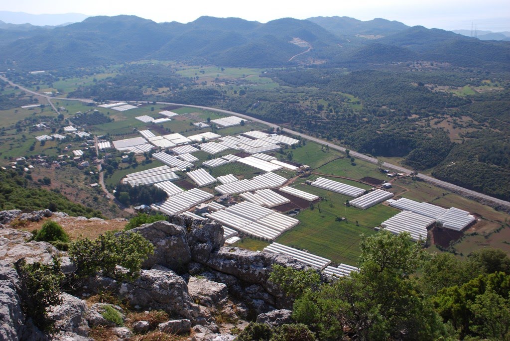
After a quick lunch stop at the side of the road, we were off again to our second climb of the day: Trysa (map), the site of what was a quite spectacular heroum. No fewer than two hundred and forty metres of frieze greeted the visitor in antiquity, with a wide range of heroic feats including episodes mentioned in the Iliad and Odyssey, the deeds of Bellerophon and Theseus, battles between Greeks and Amazons ('Amazonomachies'), and between Centaurs and Lapiths ('Centauromachies'), and much more.

Disturbed peace
Some parallels are mentioned in literary sources (eg, the Throne of Apollo at Amyclae), but nothing quite so brash is known archaeologically - so far. What makes it all the more impressive is the location: the crest of a plateau about two hundred metres above the road and valley beneath.
 Trysa
TrysaWe were the first School group to visit, - and we may well be the last, given the time it took to hack our way through the undergrowth and up the hill, but it was very fine.
 a bonus on the way down
To rest after our climb, we visited a different site, - a sunken city just off the coast. Hopping on the boat at Kaleüçağız (map), we made our way slowly along Kekova island (map), taking care not to get too close to the ruins.

Kaleüçağız harbour
To protect the ruins, boats are no longer allowed to stop on the island. Instead, we continued on to Kaleköy (map). This is a small village only accessible on foot or by boat, and the site of a crusader castle with some older remains (theatre, bouleuterium) inside. We explored for an hour or so, before a well-earned rest of the evening.

Kaleköy

No comments:
Post a Comment